Product suite
Start with one problem. Expand into a connected platform.
Each product can operate as a focused solution or form part of a broader infrastructure management environment using common GIS, database, API and reporting principles.
01 / Core PlatformModular platform
IMP
Infrastructure Management Platform
Bring GIS, asset registers, inspections, defects, telemetry, maintenance, expenditure and reporting into one connected environment while keeping location at the centre of every decision.
Multi-asset GISAsset lifecycleOperations
Explore solution →
02 / InspectionsLive platform
Insp
SpatialWorks Inspections
A digital inspection platform for property and infrastructure assets that combines field capture, asset registers, defect review, condition priorities, repair information and professional PDF reporting.
Field captureDefectsAsset registers
Explore solution →
03 / RoadsSolution platform
PMS
Pavement Management System
A GIS-based pavement management environment for road inventory, condition surveys, condition indices, treatment planning, budget scenarios, deterioration trends and decision-ready reporting.
Road conditionOCI / FCI / SCITreatments
Explore solution →
04 / WaterSolution platform
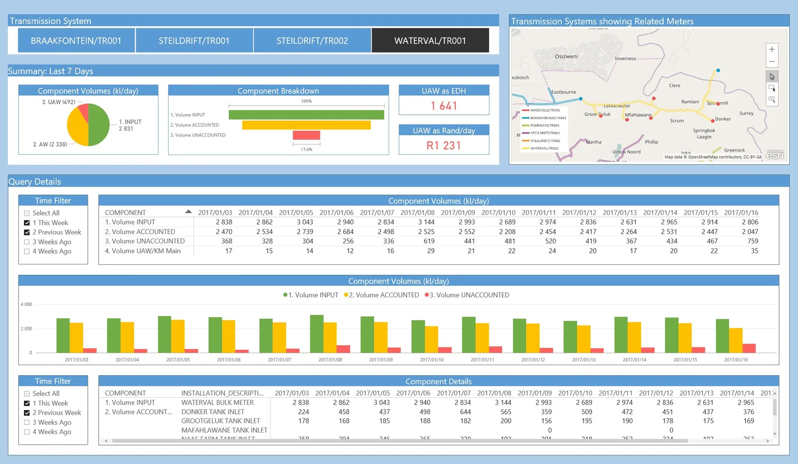
WDMS
Water Demand Management System
A GIS-first, smart-meter-ready platform for water consumption, district metered areas, non-revenue water analysis, leaks, bursts, pressure, alerts, work orders and savings reporting.
NRWSmart metersDMA analysis
Explore solution →
05 / PipelinesPurpose-built solution
PIOS
Pipeline Integrity & Operational Support System
A GIS-based pipeline asset intelligence system that unifies network assets, inspections, integrity findings, operational events, risks, maintenance requirements, documents and expenditure in one spatial operating picture.
IntegrityRiskOperations
Explore solution →
06 / TrafficPurpose-built solution
Sign
Traffic Signal Maintenance Management
A GIS and maintenance workflow for traffic signals, controllers and associated roadside assets, designed for status visibility, fault reporting, inspections, work orders, contractors, SLA tracking, spares and lifecycle cost history.
Signal assetsFaultsWork orders
Explore solution →