
Fragmented asset information
Replace disconnected spreadsheets, maps, reports and maintenance records with a structured asset information backbone.
One operational view across multiple infrastructure classes.
Bring GIS, asset registers, inspections, defects, telemetry, maintenance, expenditure and reporting into one connected environment while keeping location at the centre of every decision.
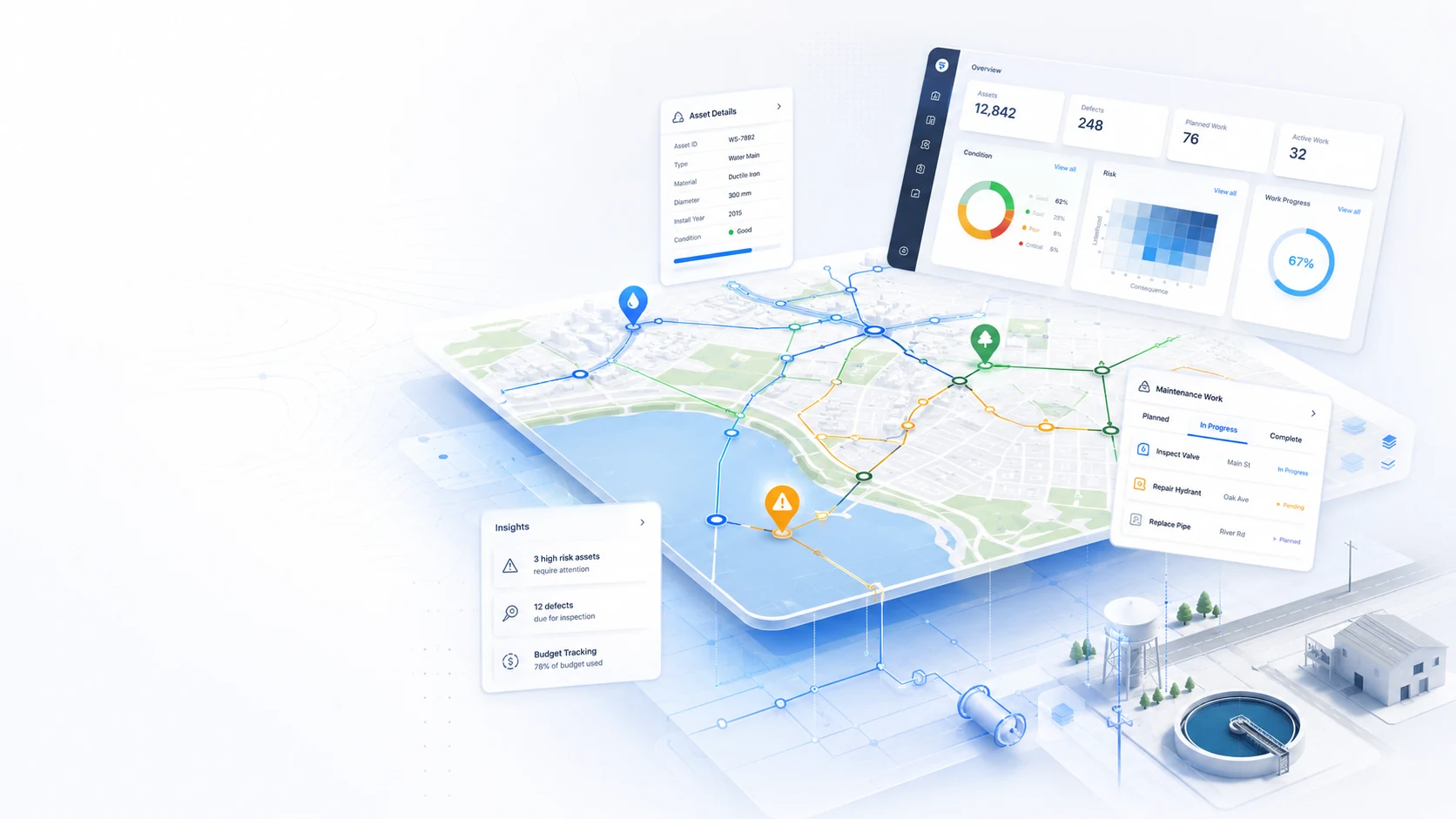
The system is designed around the decisions infrastructure teams need to make every day: what exists, where it is, what condition it is in, what requires attention and what happened next.
Replace disconnected spreadsheets, maps, reports and maintenance records with a structured asset information backbone.
See assets, condition, defects, work, costs and operational events together instead of reconstructing the picture manually.
Turn inspection, risk and condition information into defensible priorities, planned work and management reporting.
Modules can be adapted to the organisation's asset hierarchy, terminology, inspection methods, decision rules and reporting requirements.
Map and manage roads, pipelines, buildings, structures, utilities, equipment and other infrastructure classes in a common spatial register.
Capture condition, defects, photos, measurements, comments and evidence from desktop or field workflows.
Track defects through their lifecycle and apply condition, severity, criticality or risk logic appropriate to the asset class.
Convert findings into maintenance actions, work orders, responsibilities, due dates, status and completion history.
Receive telemetry or operational data through APIs and connect existing corporate systems without replacing everything at once.
Associate maintenance costs, planned expenditure and budget scenarios with the exact assets and locations they affect.
Summarise condition, risk, backlog, compliance, work status and expenditure for operational and management teams.
Produce repeatable reports from structured source data, including maps, trends, evidence and decision records.
Every module is designed to preserve the connection between the source evidence, the asset, the decision and the resulting work.
Inspections, forms, sensors, imports and existing systems.
Asset registers, history, documents and reference data.
GIS places every asset, defect and event in context.
Condition, risk, criticality, cost and operational rules.
Work orders, projects, budgets, close-out and reporting.
The platform can start with a focused use case and grow over time. The architecture separates field capture, structured data, GIS, business logic, integration and reporting so each part can evolve without turning the system into a monolith.
Responsive web interfaces, field forms, dashboards and reporting.
Business rules, workflows, authentication, integrations and automation.
Structured relational data, asset history, documents and audit records.
GIS geometry, network context, mapping, spatial queries and location intelligence.
Existing enterprise systems, IoT feeds, imports, exports and BI tools.
We can configure the asset model, GIS, workflows, database, integrations, dashboards and reporting around your organisation instead of forcing your processes into a generic template.